Color Color
|
|
||||||
|
Color Color |
||||||
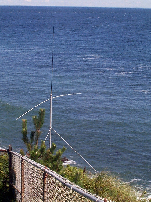
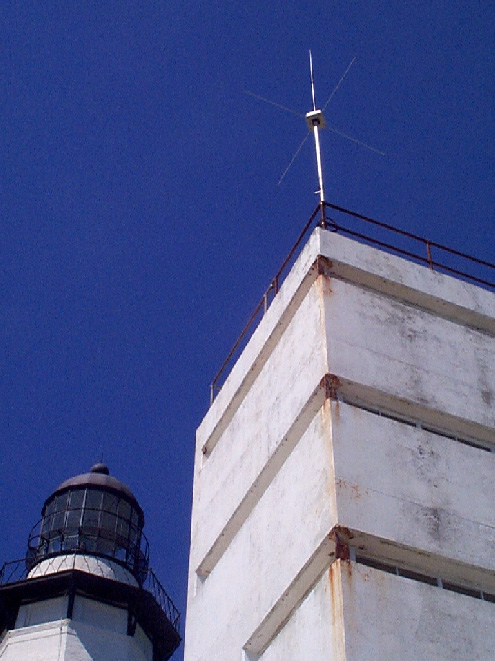
| CODAR is a unique coastal High Frequency (HF) radar system that maps surface currents in real time. The system's extremely convenient compact size, operational versatility, and low cost are the result of a 25 year evolution by the U.S. team that invented HF radar for ocean current mapping. In its long-range mode, CODAR can map surface currents out to 50-70 km, depending on a number of environmental factors. CODAR's area resolution for the long-range mode is 2-3 km, and 1-2 km for the short-range mode which can map surface currents out to 25-45 km.. | ||||||
|
|
|
|
||||
|
|
||||||
|
|
|
|||||
|
|
||||||
visitors since Nov. 16 2000